NOAA has published an unusual yet stunning picture of Mother Earth. The global mosaic is the first full view of Earth captured by the VIIRS instrument on NOAA's new NOAA-21 imaging satellite, which launched in November 2022. It shows Earth between Dec. 5 and 6, 2022.
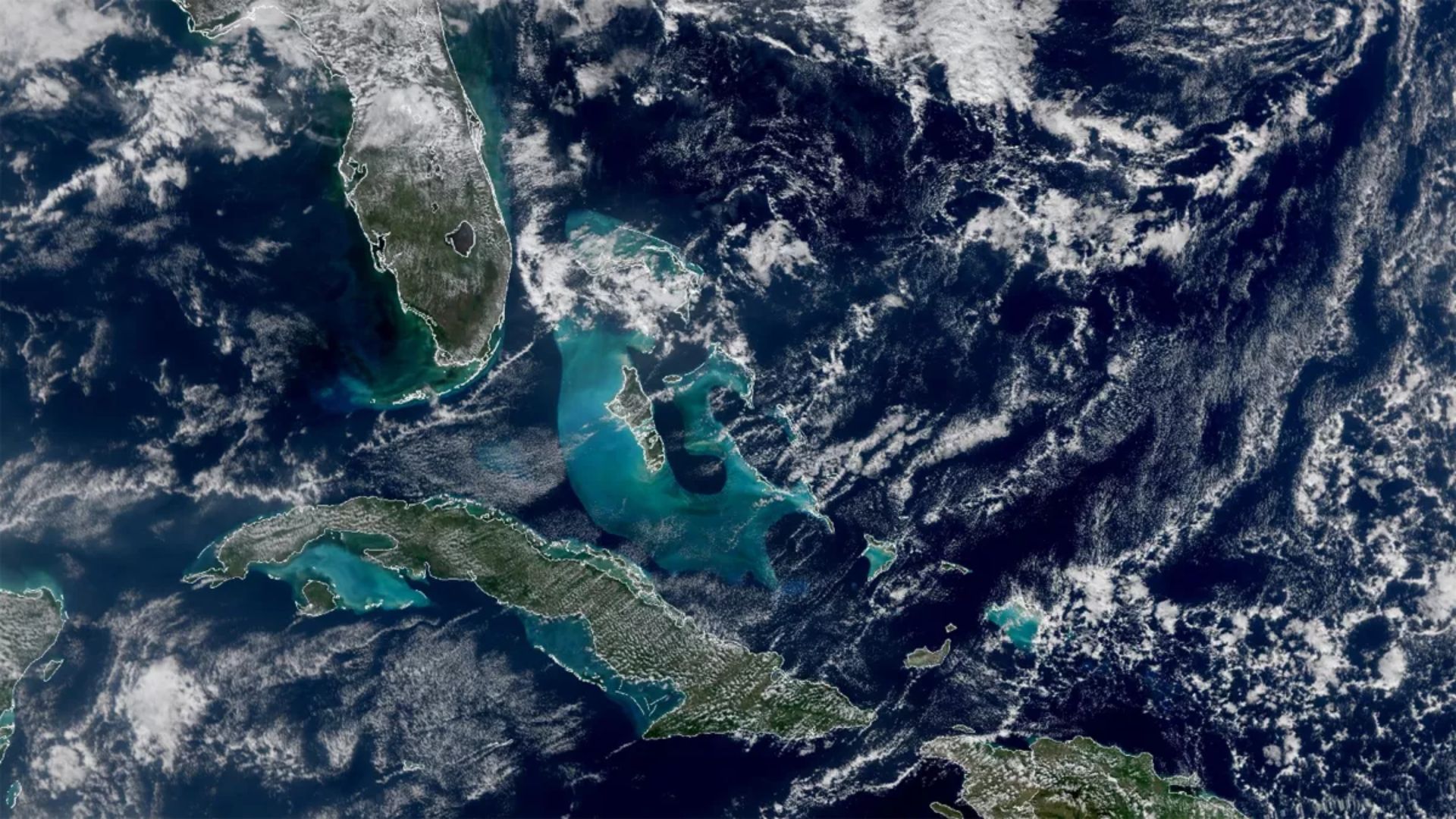
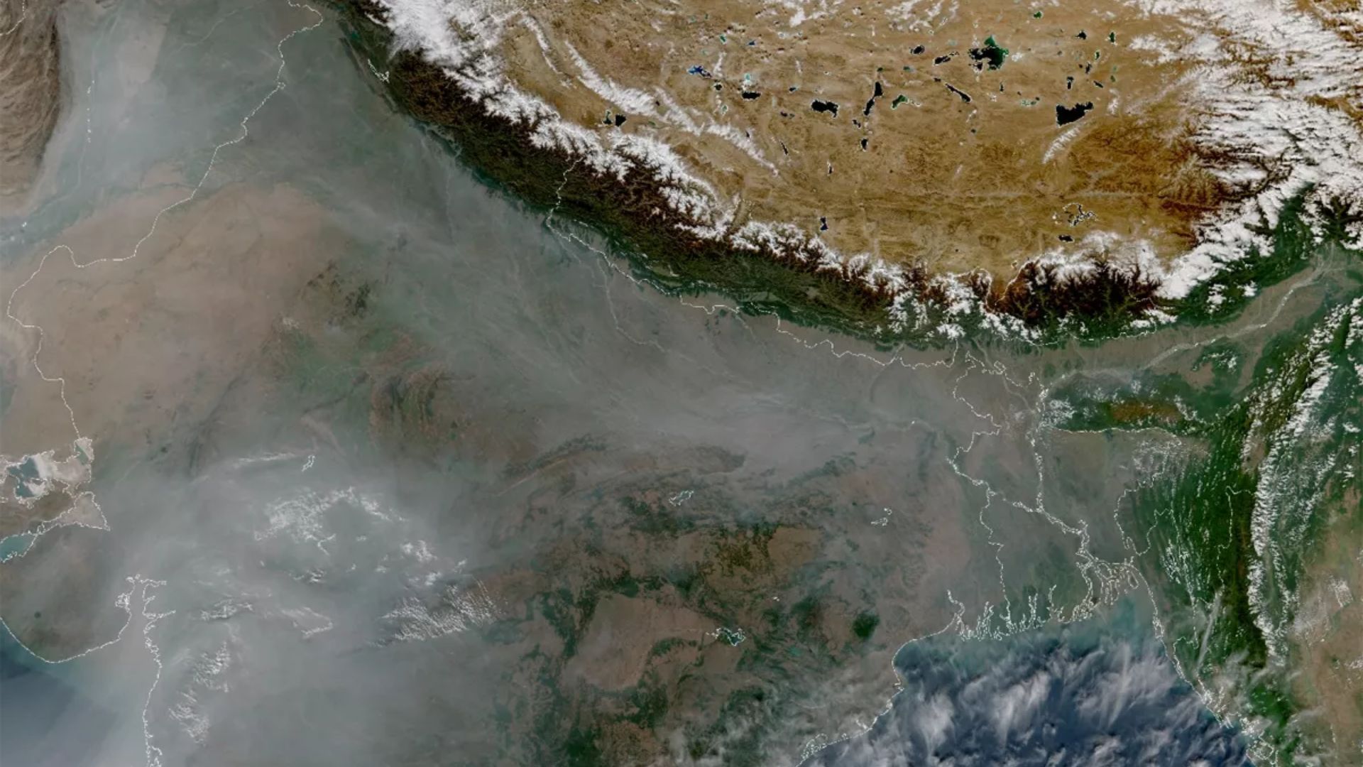
The images reflects crisp turquoise seas around Cuba, an agricultural fire in Northern India and, of course, the rest of our planet.
The Earth images that make up this mosaic, and a few closeups, were taken on Dec. 5 and Dec. 6 by an instrument called the Visible Infrared Imaging Radiometer Suite (VIIRS) aboard the satellite, which launched on Nov. 10 from the Vandenberg Space Force Base on Nov. 10.

This image from NOAA-21's VIIRS instrument shows ocean color around the southern tip of Florida and Caribbean as seen between Dec. 5 and Dec. 6, 2022. (Image credit: NOAA STAR VIIRS Imagery Team)
VIIRS collects images in both the visible and infrared light spectra, allowing scientists to see details of Earth's surface.
VIIRS provides vital information to scientists about Earth's oceans, atmosphere and land. It can detect differences in the ocean's color, telling scientists where phytoplankton are, or whether dangerous algal blooms have formed along human-settled coasts. The instrument's atmospheric data can help scientists forecast and monitor storm movement.

In this image over Northern India captured by NOAA-21’s VIIRS instrument, you can see smog from prescribed agricultural burns, and the Himalayas and Tibetan plateau to the North (Image credit: NOAA STAR VIIRS Imagery Team)
NOAA-21 is the second operational satellite in a series called the Joint Polar Satellite System, which provides global, pole-to-pole images.
The satellites orbit pole-to-pole, observing the entirety of Earth's surface twice per day. It cruises 824 kilometers above Earth at 27,360 kph and crosses the equator 14 times per day. And they all carry a VIIRS instrument.
-Space